Field and Willey Hike in October

For the first time in a very long time before a big hike, I slept in. I didn’t get to the trailhead until almost 10 a.m. It was perfect timing because it was a cold morning. 31 degrees according to my watch. 

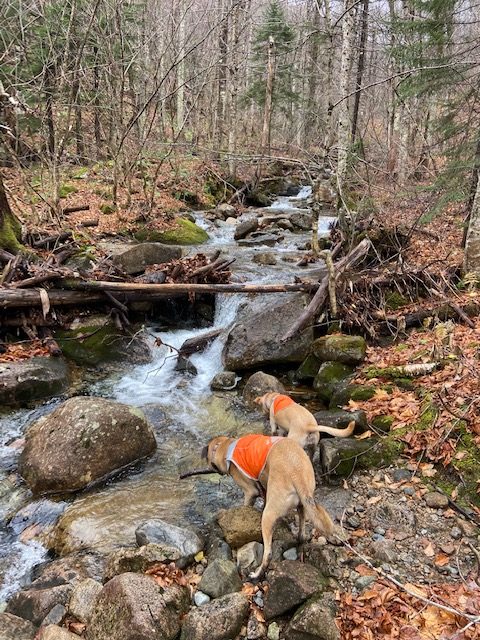
As I hiked up the Avalon Trail I heard water everywhere. So many waterfalls and streams. A few others started right before and after me. The climb starts just after the first half mile and then the turn off to Mount Avalon has a lot of granite slabs. At first there they were just wet and a little slippery and then became icy and slippery. 

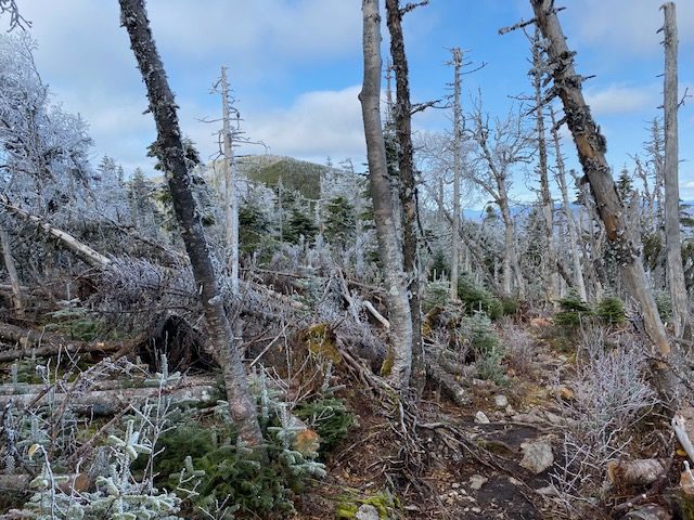
The icy granite faded away and there was just a great dirt trail. I headed into the snowy trees toward Mount Field and passed up Mount Avalon, which everyone said had great views. Some times when I’m hiking solo I get a bit nervous and just want to get to the summit. That was today. I brought micro spikes and hiking poles since I didn’t know what to expect. 

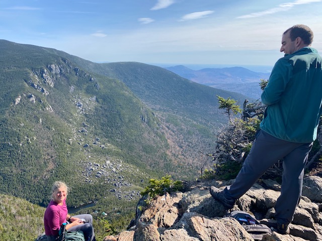
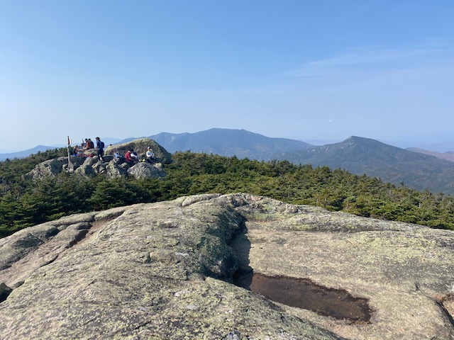
I passed a few hikers heading down and they said microspikes weren’t needed so it made me feel better. As we approached Field there were some great views between the trees and once I got to the summit. The sun came out and just lit up the iced trees. Truly spectacular. 

I continued onto Willey on the Willey Range trail. It was a ridge that went up and down with some steep climbs ups and down but didn’t last long. I almost missed the turn off to Willey when I started to hike down. Thank goodness for the GPS map on my Garmin. That was the summit, looked around and headed back. 

The slabs were still icy on Avalon as we headed down to Crawford Notch and the Conway Scenic Railroad train was stopped at the Depot. I’ve never seen that before. 

We headed home and got back to Concord by 4 p.m. It was a good weekend of hiking in the White Mountains. Six more peaks to go to hit my goal of finishing the 4,000 footers in my 49 year. 

Kinsmans, Tripyramids, Moosilauke and Owl’s Head are all that are left. Two more weekends to get them done. I think it will happen.

Mount Cabot Hike in the rain

I hiked Mount Cabot from the Bunnell Notch trail. At the trailhead it was perfect temps around 40s. I had hiked this at this time last year with Winnie and remembered the long drive to Berlin – 2 ½ hours. Ugh. And didn’t realize until after I got home that I hiked it already in October so I couldn’t use it for my grid. Bummer

I love this trail. It’s such a nice, gradual hike that at the beginning you can see where you will end up. It’s very wooded which was good since the mist and rain started at the Kilkenny Ridge trailhead. Last year there was not much standing water and this year there was plenty of water for the dogs and I didn’t have to worry about it. Muddy, too.

The summit is an open area with no view but even if there were we were socked in. It rained pretty hard once we got there and for the first two miles back. It was good to test out all the gear to make sure it kept me warm as we head into winter. 

I do love this hike I just wish it wasn’t so far away. The dogs did great and we didn’t see any dogs. For a Saturday there weren’t too many people on the trail; we maybe saw 10.

I stayed overnight in Gorham and tomorrow is Field and Willey.

Wildcat Carter Moriah Traverse October 2020

An epic day in the White Mountains. 18 miles and 7,690 feet of elevation gain.

Our day started with Wildcat E and concluded with Mount Moriah. The peaks included:

Wildcats A, B, C, D, and E. Carter Dome, Hight, South Carter, Middle Carter, North Carter, Mount Moriah. 6 4,000 footers DONE.

The day started with a car spot and we left Pinkham Notch for Wildcat E about 8:30 a.m. We took Lost Pond Trail to Wildcat Ridge. The last time I hiked on this ridge was with my dad after a 2-day backpack in June of 1989. We had started our hike at Imp Trail and ended on Wildcat Ridge with a highway walk back to the car. I was glad that today, Ross decided to start with the Wildcats instead of end with them; and to have a car spot! 

The ridge is tough. So much climbing but I got in a zone and it was okay.

Vicky on the steeps – Wildcat Ridge

Miraculously we got through all the peaks. It was so steep and rugged. 

The highlight of this section was a rest after descending to Carter Notch. At Carter Lake we got out of the wind and soaked up the sun for a bit of a rest. The Wildcats were steep and slow. And while we didn’t have a time expectation we just knew it was going to be 18 miles and at this point we were only 4 or 5 miles in. It was going to be a long day. 

However, the weather was perfect. It never got too hot or too cold. The wind was whipping at many points along the trail but then we would get deep in the woods with no wind. 

Trail sign at Carter Lake

As we ascended Carter Dome I got into a hiking zone and we tried to make up some time.  We opted for Mount Hight and the view was the best of the day. We could see where we came from and where we had left to go. 

We hit all three Carters and were ready to be done with them so we kept moving. 

Coming down North Carter was a bitch. There I said it. I don’t want to do this trail ever again. Endless on-your-butt downhill. But we could see where we were going which included Imp and Moriah. 

We hit Mount Moriah’s southern ledges as the sun began to set and at the summit we took amazing pictures of the sun setting over the Presidentials. The Presidentials were looming all day with not a cloud in sight. 

Mount Moriah summit looking west.

We wore headlamps all the way down via Stony Brook and were thankful for the ease of the descent back to the car. It was very warm on the hike down. The wind was warm and we hiked through warm spots. It felt humid. So strange. 

We exited the trail at 9:30 p.m. to a clear sky with so many stars. After a long day like this I was thankful everyone stayed safe and healthy. We all got home, albeit very late. I got home to Concord at 11:00 pm and Vicky and Ross after midnight. 

The Wildcat Carter Moriah traverse seemed much harder than the Pemi Loop and Presidential Traverse. I feel like all the lessons learned from these longer hikes such as not carrying enough food or not having enough water were all corrected in my preparation for this day. All day long we went up and down, and repeated nearly a hundred times. Despite inconsistency in my training days the last few months I feel like I did well on this traverse. However, I don’t feel like I need to do it again anytime soon. It was an epic day on rocky terrain with wonderful hiking partners.

Highlights:

Following the Appalachian Trail
Remembering parts of this hike with my dad from 1989
Great hiking partners
Having enough food and water
The sunset on Moriah

Mount Isolation via Rocky Branch Trail

Vicky agreed to hike with me to bag Isolation. I knew it was going to be a long day: two hour drive each way and a long 14 mile hike – so I brought the dogs. The best trail for dogs was the Rocky Branch Trail and it proved to be a good one. 

Photo by Vicky.

I read a trail report from a week ago that said there was very little mud and the hiker reported dry feet the entire way. Well, it rained quite a bit since that report and the trail was filled with water and mud – but I loved it; so did the dogs. 

Goldie

As we entered the Dry River Wilderness I really liked that the dogs had water for 80% of the hike. The river crossings were rock hop-able. What I liked most about this trail were the parts that weren’t muddy and wet – the trail was spectacular for the ease of hiking and beautiful birch trees. When the sun hit the trees in the just the right way the fall colors were amazing. 

I love it when I can declare out loud several times while hiking: I love this trail. It didn’t seem like too much of an effort especially after the first two miles of climbing. There seemed to be some recent trail work and only one blow down that was hard to get under. 

We didn’t see many people until we hit the Davis Path and got closer to the spur to Isolation – then the people arrived. As we got to the summit it seemed like suddenly there were 20 people on the summit – crazy. We didn’t stay long. The views west to the Crawford Path and the Presidentals were clear as can be. Just a week ago I was over there looking to Isolation where I knew I would be today. 

Vicky got to feed some Grey Jays which she was thrilled with!  Goldie tried to eat them.

On the way down I did get my feet tangled in roots, falling almost down to the river – good save Vicky. Other than that Goldie tried to climb a tree to get to a chipmunk and ate a mouse. We all made it home safe and sound despite the southbound traffic on 93. 

The foliage is peaking in northern New Hampshire. 

15 peaks to go to finish the list!

4,000 footers update

This weekend I hiked 36.7 miles (Friday was 12.3, see next post)

Saturday and Sunday went sort of as planned: two days of hiking, bagging five peaks. 

Saturday I hike North Twin to South Twin and down and up to Galehead.

I hiked solo and ran into a young man from Dover, NH who I chatted with most of the way. It was sunny and warmish and while I carried 2.5 liters of water and a filter, I worried about water all day. The views from the false summit of North Twin were amazing – I just love that blue of mountains in the distance.

After hiking the southern Presidentials yesterday (see next post) my legs were fatigued but somehow I was able to make it to South Twin. At the summit of South Twin I debated about Galehead. I think I had enough water but the route down to Galehead is relentless. 0.8 miles of downhill stairs as I remembered from the Pemi Loop last year. 

I knew I just had to get Galehead done. I’ve been so close too many times so I just did it. 

The stairs were relentless but actually not as bad as I remembered. Then onto Galehead. One sign said 0.4 another a bit later 0.5. My watch: 0.3 – an easy climb to Galehead with an outlook before the summit and back down to the hut. 

As I started up South Twin I started counting. This works in running and it worked today. Getting back seemed not as hard and I was happy to be done with it. The up and down back to North Twin was okay and I had enough water. I ran out of water at mile nine knowing that at mile 10 or 11 I would get water from the Little River. I alternatively ran/hike the final two miles through the gorgeous fall foliage. 

It was a good day. 

Total mileage: 13.25

Passaconaway and Whiteface

On Sunday I hiked the loop counter clockwise. I may have been one of two people that did. Everyone I passed, and about eight dogs, went clockwise.

I chose Passaconaway first because, again, I got close to the peak twice the last few years and either was too tired or just skipped it. I had to do it, so I started with it. 

The hike up Dicey Mill is really gradual with a few steep sections and then I turned right to go up to Passaconaway. A trail runner passed me and then after about five steep pitches I reached the summit with a little cairn. 

I got confused about how to take the loop trail down so I went down the way I came up. Then on to Whiteface.

Despite being socked in most of the day, there were a few views of the wilderness breaking out.

I passed a pile of rocks, the true summit and up to the granite slabs.

I wasn’t looking forward to them and thank goodness they were dry. I think going down is the better option. Whiteface is definitely not one of my favorites but the loop is fun to run. 

I finished the loop with two summits in 4 hours 26 minutes – 11.26 miles

16 4,000 footers to go by November 14 at midnight.