Sometimes the best vacations are about going home. I love saying I’m from seacoast New Hampshire; I am proud of this beautiful place on the Atlantic Ocean. Many people don’t really even know where New Hampshire is – I’ve encountered people not knowing, in the many places I’ve lived in the US.
Last week I flew into the Portland Jetport and drove an hour to get back home to Rye.
Rye, New Hampshire on the coast, beach town, memory town.
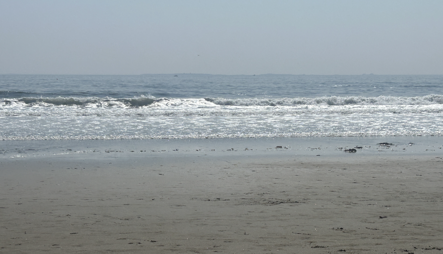
One of the highlights of this trip was heading down to Pirate’s Cove, the beach I always went to when I lived at home. It’s just down the way from Wallis Sands State Beach. My brother and I slipped right back into the feeling of growing up here.

He dove headfirst into the waves first (or maybe it was a back into it situation, but definitely under). I chose the floating on my back option and tried to get ahead of the crashing waves.
We just so happened to be at the beach when there were some of the biggest, most continuous swells I’ve ever seen on the New Hampshire seacoast. We laughed and were alternatively stunned that we kept getting knocked down over, again and again. For a while it felt like I was back in high school and just spending the day on the beach.
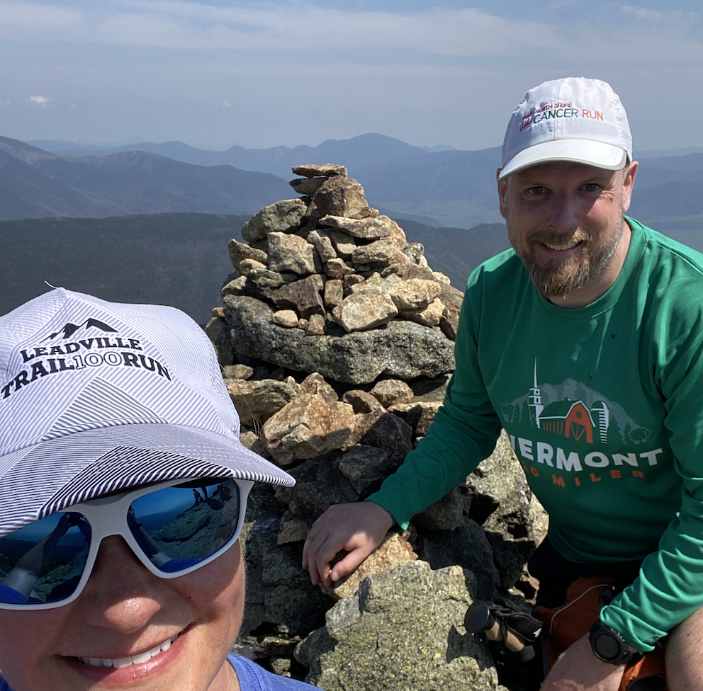
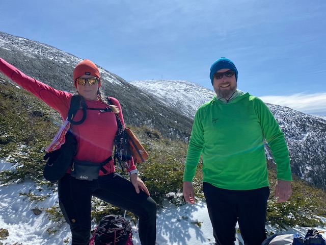
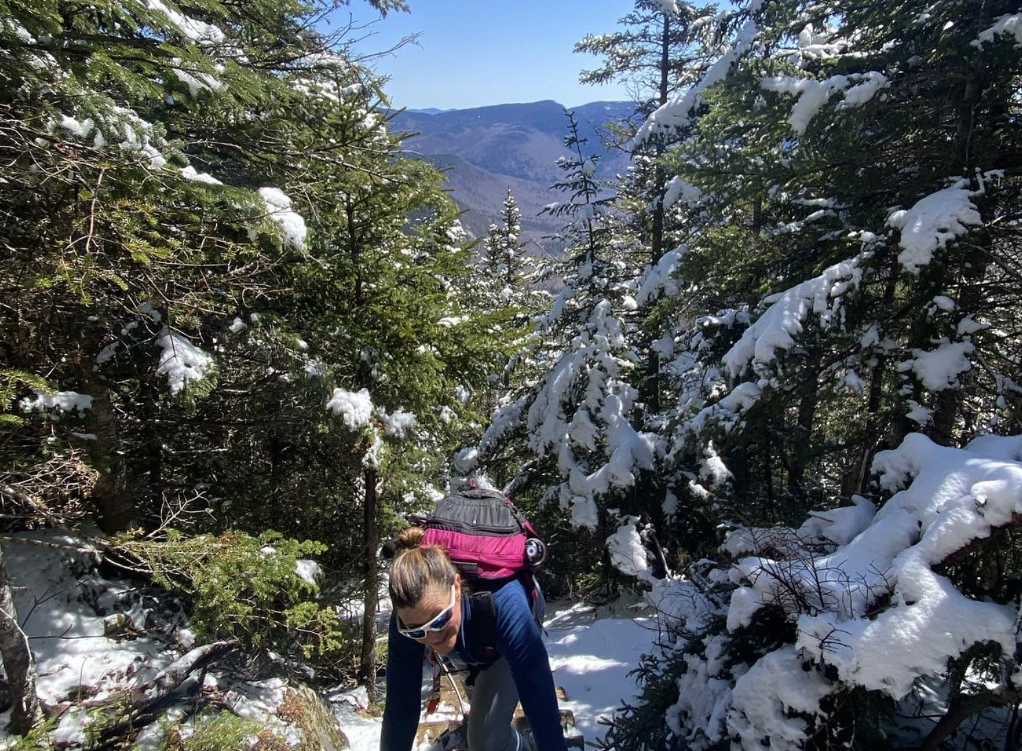
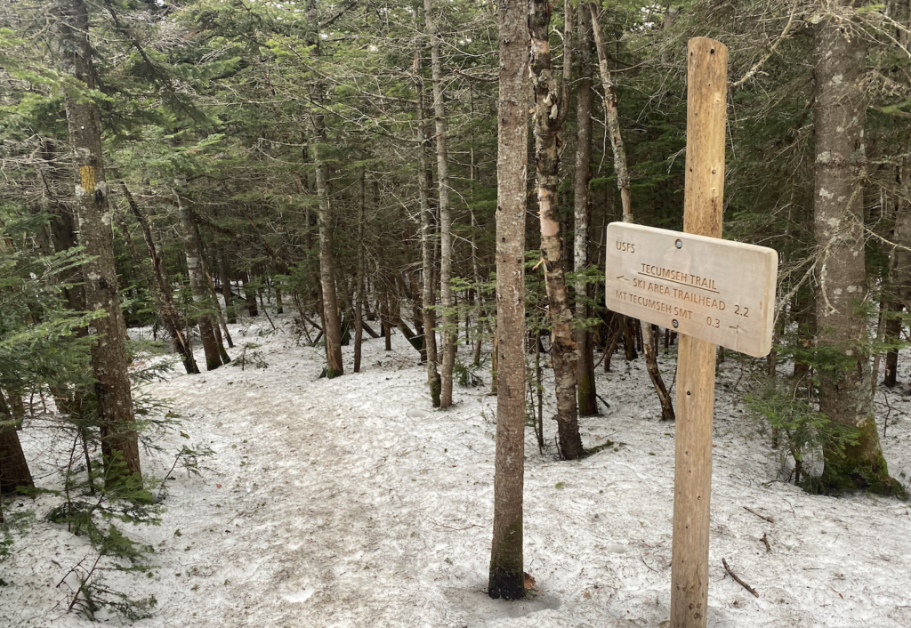
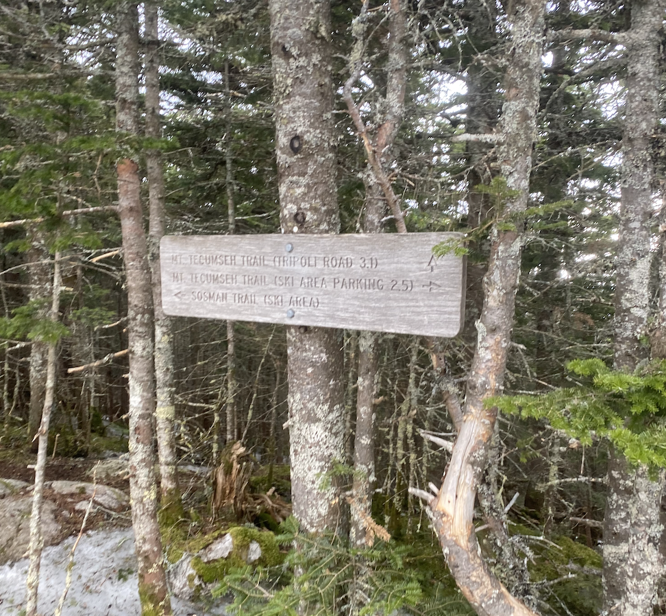
The trip wasn’t all lobster rolls and fried clams (yes, full bellies). The day prior we hiked at Gunstock Mountain Resort. I worked there from 2020-2022 and I missed it so much so I was really hoping my brother would want to go.
He did.
Jason usually hikes Mount Major on his past trips home. But I convinced him there were fewer hikers on the trail and better parking. Plus, if we felt motivated we could eat at the Barrel Bar, zip line or mountain coaster-it.
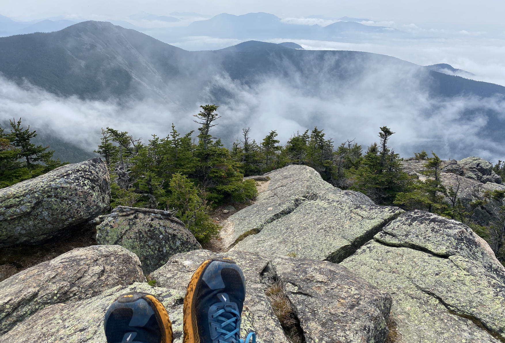
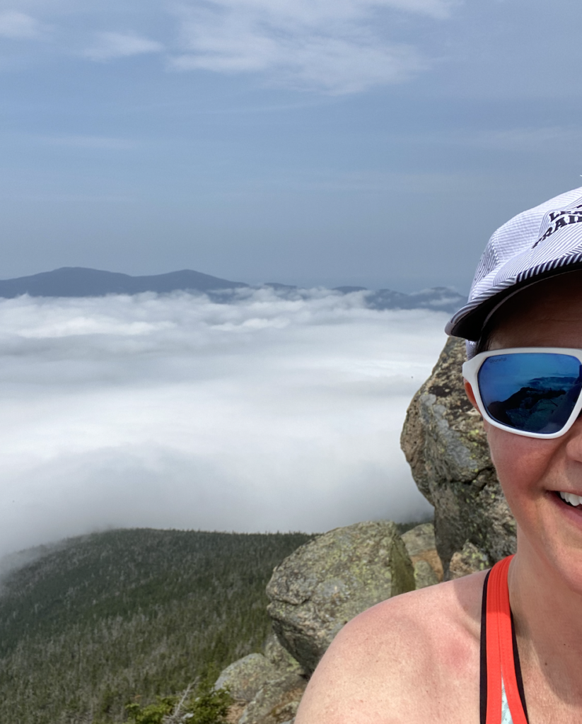
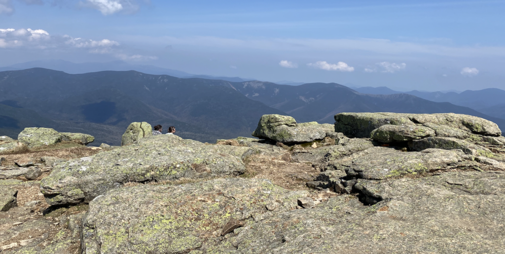
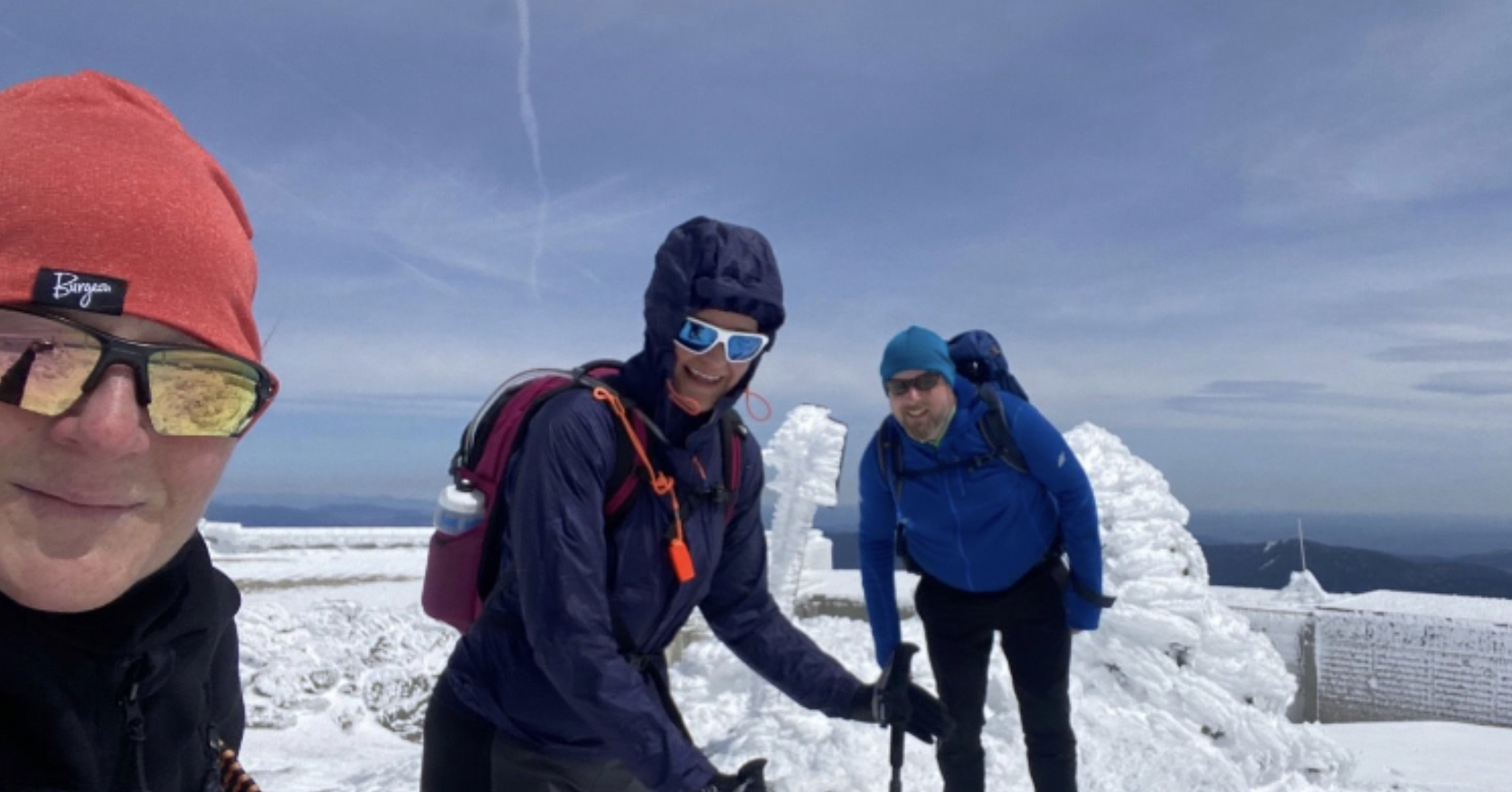
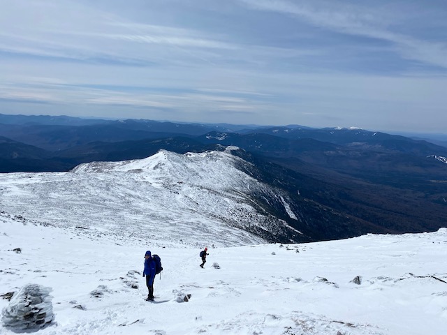
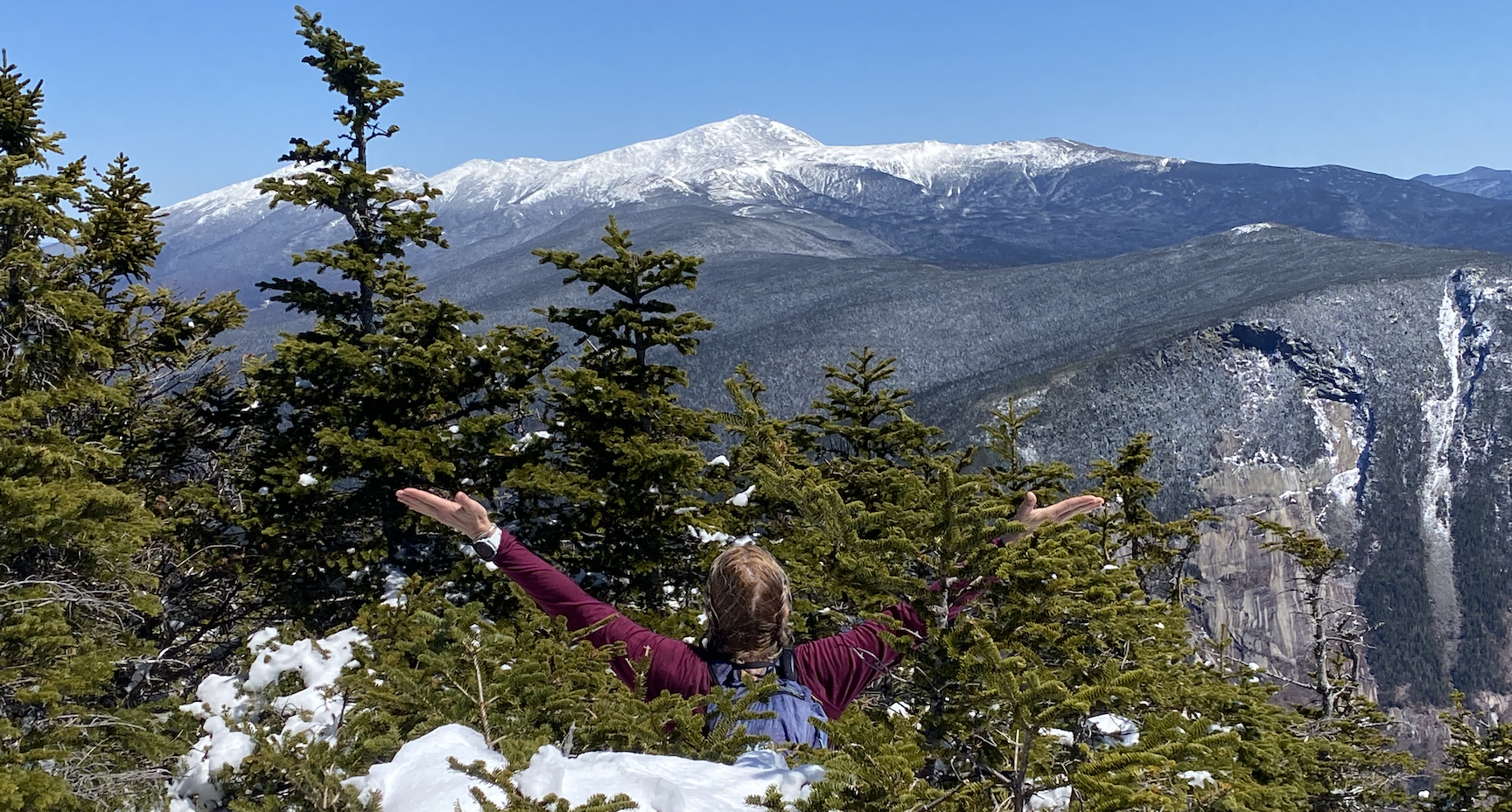
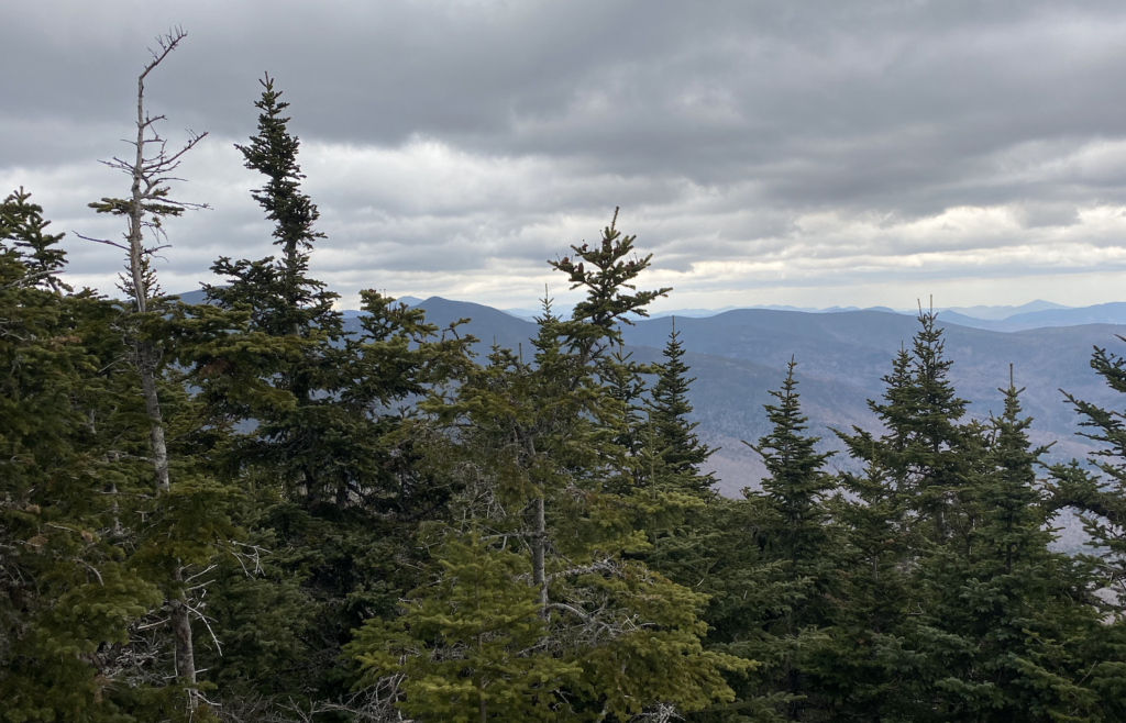
We headed out (from the some-what newly paved parking lot) taking Brook Trail to the summit and then along the Ridge Trail back. The climb gave us views of Lake Winnipesaukee and the White Mountains, albeit a bit hazy due to smoke from the Canadian fires.

The trail was a mix of challenge and fun, and we hung out at the picnic tables on the summit commenting on the incredible views. And maybe comparing it a bit to the Mount Major view.
But what really made the trip memorable was simply catching up with my brother as we drove around New Hampshire and had drinks on the water in downtown Portsmouth.

I loved watching my parents living their best lives, as they put their life on hold for us for a few days – pampering us with breakfast, lunch and dinner.
It was great to be back and visit a few of my favorite places: Rye, Gilford, Portsmouth. It was a perfect mix of ocean, mountains, and family fun. And knowing that everyone is fine. Everyone is Fine.
We are a fun, driven, happy, anxious, loving family. We are the Lodges.